-

Topographic Survey
Our topographic survey service provides detailed mapping of the land's surface and features, including contours, vegetation, structures, and other natural and man-made features. This survey is essential for land development projects, infrastructure planning, and environmental assessments.
-

Land Registration Survey
A critical process for establishing and recording accurate and reliable information about the boundaries of a property or a land. It provides land owners with the assurance that their area is accurately defined and can be relied upon for legal and financial transactions.
-

Hydrographic Survey
Our hydrographic survey service provides accurate measurements and mapping of the water depths, bottom contours, and other features of water bodies. This survey is critical for navigation, dredging, and offshore construction projects.
-

Initial Land Survey
Initial Land Survey is the first survey carried out on a piece of land before any development or construction takes place. The purpose of the survey is to gather accurate information about the physical features and legal boundaries of the area, which is necessary for planning and designing any future development projects.
-

Geotechnical Survey
The purpose of geotechnical survey is to provide information about the soil and rock properties to help engineers and architects design and construct safe and stable structures. By conducting a Geotechnical Survey, engineers and architects can ensure that their designs are based on accurate and reliable information, which can help to avoid costly delays and construction failures.
-

Control Survey
The goal of the control survey is to accurately determine the location of a specific point on the Earth's surface. Static Surveys are an important land surveying technique that uses GPS technology to accurately determine the location of a specific point on the Earth's surface. They are widely used in applications where high accuracy is required, such as in the construction of large-scale infrastructure projects.
-

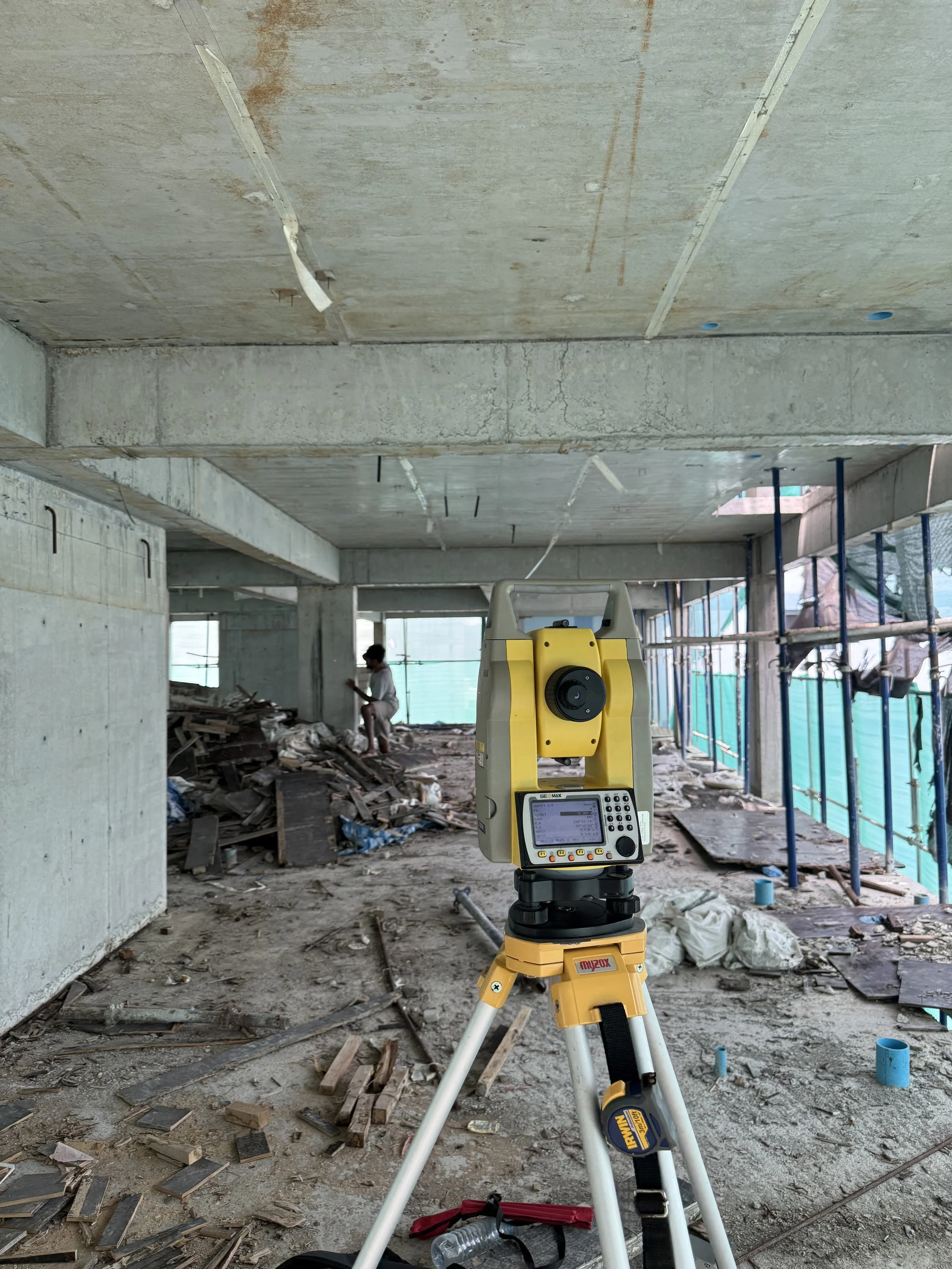
Set-out Survey
A type of survey conducted by a land surveyor to mark out the position of proposed structures or features on a construction site. The survey involves using reference points and measurements to accurately position structures, such as buildings, roads, utilities, and other features, in accordance with the site plans and designs. The surveyor will then mark out the positions of these features on the ground using temporary markers or stakes.
-
As-built Survey
The survey involves creating a detailed record of the completed construction project, including any modifications or changes that were made during the construction process. The surveyor will collect data on the existing structures or features, using a range of equipment and techniques. The surveyor will use this data to create detailed plans, maps, and reports that document the as-built conditions of the site.